Published
The Nile: The World's Longest River, Through Cairo and Eleven Countries

Cairo, Egypt’s capital and the largest city in the Arab world, sits astride the Nile roughly 165 kilometers upstream of where the river fans out into its delta and empties into the Mediterranean. The skyline view from the river, minarets, bridges, and modern towers crowded along both banks, is one of the most photographed cityscapes in Africa, and it exists at all because of a river that made settled civilization possible in an otherwise arid stretch of desert for more than five thousand years.
The Nile is conventionally measured at about 6,650 kilometers, or 4,132 miles, which has made it the standard answer to “the world’s longest river” in atlases, textbooks, and Guinness World Records for generations, edging out South America’s Amazon by a relatively narrow margin depending on which source point and mouth are used for measurement. That ranking is not entirely settled. Because rivers do not have a single obvious starting point, competing expeditions and researchers have occasionally measured the Amazon’s most distant tributary as longer, and the dispute periodically resurfaces in scientific expeditions, but no rival measurement has displaced the Nile as the conventional record-holder in most reference works.
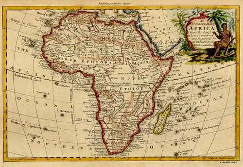
The river is fed by two principal tributaries that begin in entirely different countries and ecosystems. The White Nile, generally treated as the river’s main stem, flows out of Lake Victoria near Jinja, Uganda, though hydrologists trace its most distant headwaters further back to the Kagera River, which rises in the highlands of Burundi and Rwanda before feeding the lake. The Blue Nile, which supplies the majority of the water and virtually all of the fertile silt that made ancient Egyptian agriculture possible, originates at Lake Tana in the Ethiopian highlands. The two rivers meet at Khartoum, Sudan, and continue north as a single channel through the Nubian and Egyptian deserts to Cairo and the delta. Along that combined course, the Nile’s drainage basin touches eleven countries: Egypt, Sudan, South Sudan, Ethiopia, Eritrea, Kenya, Uganda, Tanzania, Rwanda, Burundi, and the Democratic Republic of the Congo, making it one of the most geopolitically shared river systems on Earth and, in recent years, a source of tension between Ethiopia and downstream Egypt and Sudan over the Grand Ethiopian Renaissance Dam.
The Nile is also unusual among African rivers for being navigable over very long distances inland. Most of the continent’s major rivers, the Congo, the Zambezi, the Niger, are broken up by cataracts, rapids, and waterfalls not far from the coast, which historically limited how far ships could travel upriver. The Nile’s stretch through Egypt and northern Sudan is comparatively free of such obstructions, which is part of why ancient trade, administration, and later steamship travel could move so far into the interior along its banks, and why Cairo itself grew into a capital of continental importance rather than remaining a coastal outpost.
Books & Further Reading
Terje Tvedt, The Nile: History's Greatest River (I.B. Tauris/ Bloomsbury, 2021, ISBN 9780755616794)